Saffrons House, Weavers Lane
Introduction
The photograph on this page of Saffrons House, Weavers Lane by Simon Carey as part of the Geograph project.
The Geograph project started in 2005 with the aim of publishing, organising and preserving representative images for every square kilometre of Great Britain, Ireland and the Isle of Man.

There are currently over 7.5m images from over 14,400 individuals and you can help contribute to the project by visiting https://www.geograph.org.uk
Saffrons House, Weavers Lane
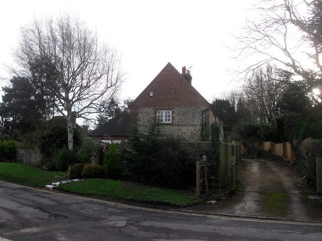
Image: © Simon Carey Taken: 27 Jan 2013
Lying at right angles from the road and dating from the early 19th century. The field once surrounding it was known as Saffron Croft in Alfriston's 1842 tithe map.
Images are licensed for reuse under creativecommons.org/licenses/by-sa/2.0
Image Location
Latitude
50.806991
Longitude
0.155346