Bromley Street and temple in Blakenhall, Wolverhampton
Introduction
The photograph on this page of Bromley Street and temple in Blakenhall, Wolverhampton by Roger D Kidd as part of the Geograph project.
The Geograph project started in 2005 with the aim of publishing, organising and preserving representative images for every square kilometre of Great Britain, Ireland and the Isle of Man.

There are currently over 7.5m images from over 14,400 individuals and you can help contribute to the project by visiting https://www.geograph.org.uk
Bromley Street and temple in Blakenhall, Wolverhampton
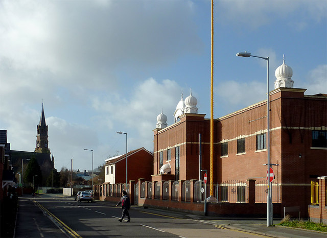
Image: © Roger D Kidd Taken: 30 Jan 2013
In this view are two significant places of worship. The Sikh community has been established in Wolverhampton since the 1950s. On the right is the southern end of the red brick temple, the Guru Nanak Sikh Gurdwara. At the end of the street is St Luke's (Church of England).
Images are licensed for reuse under creativecommons.org/licenses/by-sa/2.0
Image Location
Latitude
52.572732
Longitude
-2.127294