New housing in Blakenhall Gardens, Wolverhampton
Introduction
The photograph on this page of New housing in Blakenhall Gardens, Wolverhampton by Roger D Kidd as part of the Geograph project.
The Geograph project started in 2005 with the aim of publishing, organising and preserving representative images for every square kilometre of Great Britain, Ireland and the Isle of Man.

There are currently over 7.5m images from over 14,400 individuals and you can help contribute to the project by visiting https://www.geograph.org.uk
New housing in Blakenhall Gardens, Wolverhampton
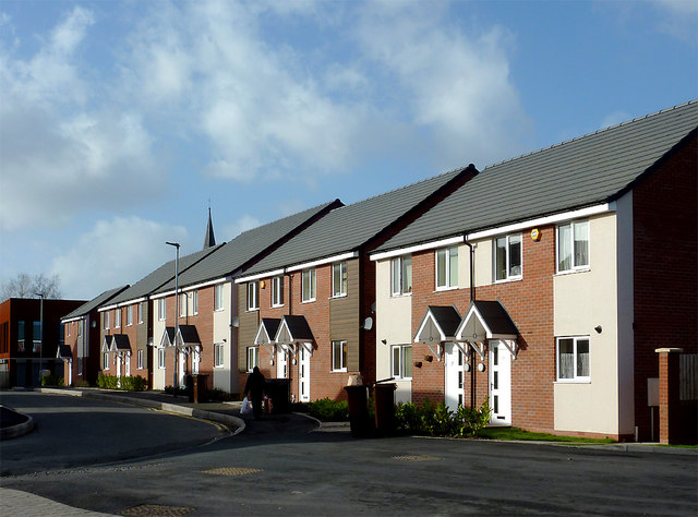
Image: © Roger D Kidd Taken: 30 Jan 2013
This is a multicultural area of Wolverhampton which has been undergoing very extensive regeneration for several years. The Blakenhall Gardens housing development is now well under way. Plots 83 to 91 are shown here, viewed from Dudley Road before the building of the retail area. The tip of St Luke's church spire can just be seen behind No 88.
Images are licensed for reuse under creativecommons.org/licenses/by-sa/2.0
Image Location
Latitude
52.572283
Longitude
-2.126997