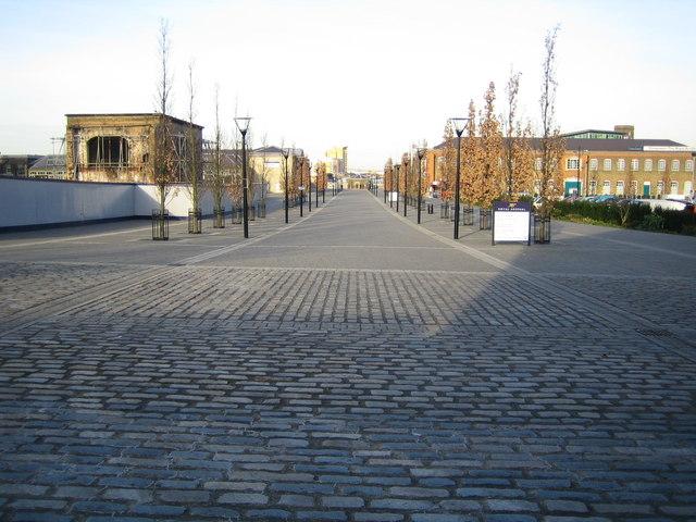
Woolwich: Number One Street, Royal Arsenal
Introduction
The photograph on this page of Woolwich: Number One Street, Royal Arsenal by Nigel Cox as part of the Geograph project.
The Geograph project started in 2005 with the aim of publishing, organising and preserving representative images for every square kilometre of Great Britain, Ireland and the Isle of Man.
There are currently over 7.5m images from over 14,400 individuals and you can help contribute to the project by visiting https://www.geograph.org.uk

Image: © Nigel Cox Taken: 31 Jan 2007
This is one of the main north-south arteries through the former Royal Arsenal site. The site's 76 acres were bought by the London Development Agency for £1 from the Ministry of Defence in 1997. In the largest on-site reclamation of soil ever, £48.8 million was spent on decontaminating the area. At its peak during the First World War the Royal Arsenal employed 88,000 people, covered 1,350 acres, and even had its own railway system, with 150 miles of track.

