Rams Head
Introduction
The photograph on this page of Rams Head by David Dixon as part of the Geograph project.
The Geograph project started in 2005 with the aim of publishing, organising and preserving representative images for every square kilometre of Great Britain, Ireland and the Isle of Man.

There are currently over 7.5m images from over 14,400 individuals and you can help contribute to the project by visiting https://www.geograph.org.uk
Rams Head
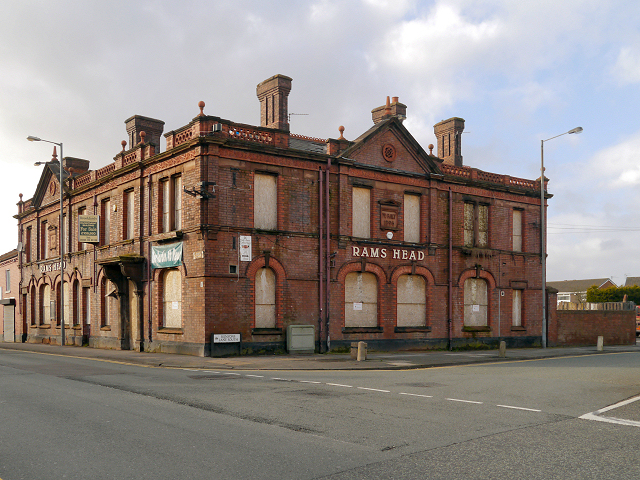
Image: © David Dixon Taken: 31 Jan 2013
The former Rams Head public house at the corner of Church Road and Kenyon's Lane South, Haydock. Terracotta lettering on the side proclaims that it was "Rebuilt 1896".
Images are licensed for reuse under creativecommons.org/licenses/by-sa/2.0
Image Location
Latitude
53.47047
Longitude
-2.652566