Near Granby Farm
Introduction
The photograph on this page of Near Granby Farm by Graham Horn as part of the Geograph project.
The Geograph project started in 2005 with the aim of publishing, organising and preserving representative images for every square kilometre of Great Britain, Ireland and the Isle of Man.

There are currently over 7.5m images from over 14,400 individuals and you can help contribute to the project by visiting https://www.geograph.org.uk
Near Granby Farm
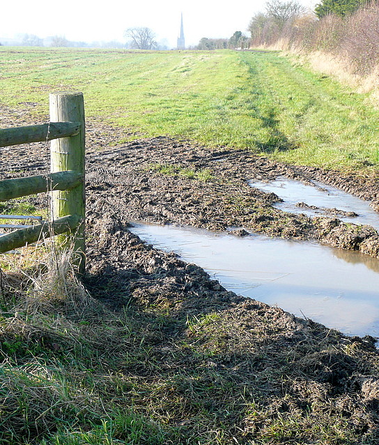
Image: © Graham Horn Taken: 13 Jan 2013
We are on a lane, used by Shakespeare's Way, just south of Granby Farm. Looking west the plateau farmland drops away to the Stour valley, unseen, with the spire of Tredington church beyond.
Images are licensed for reuse under creativecommons.org/licenses/by-sa/2.0
Image Location


Leaflet Map data © OpenStreetMap
Latitude
52.090109
Longitude
-1.611715