Playing fields at Barn Elms
Introduction
The photograph on this page of Playing fields at Barn Elms by Stefan Czapski as part of the Geograph project.
The Geograph project started in 2005 with the aim of publishing, organising and preserving representative images for every square kilometre of Great Britain, Ireland and the Isle of Man.

There are currently over 7.5m images from over 14,400 individuals and you can help contribute to the project by visiting https://www.geograph.org.uk
Playing fields at Barn Elms
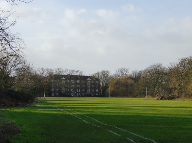
Image: © Stefan Czapski Taken: 31 Jan 2013
Looking west towards Rocks Lane. The strip of woodland on the right marks the course of Beverley Brook.
Images are licensed for reuse under creativecommons.org/licenses/by-sa/2.0
Image Location
Latitude
51.472129
Longitude
-0.236787