Trowell NG9, Notts
Introduction
The photograph on this page of Trowell NG9, Notts by David Hallam-Jones as part of the Geograph project.
The Geograph project started in 2005 with the aim of publishing, organising and preserving representative images for every square kilometre of Great Britain, Ireland and the Isle of Man.

There are currently over 7.5m images from over 14,400 individuals and you can help contribute to the project by visiting https://www.geograph.org.uk
Trowell NG9, Notts
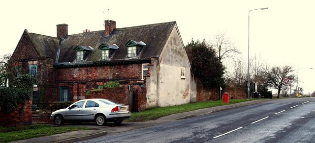
Image: © David Hallam-Jones Taken: 31 Jan 2013
This is the farmhouse component of the Grade II-listed 17th century Rectory Farm near to the crown of a hill where the Stapleford Road (the A6007) joins the A609 Nottingham Road/Ilkeston Road. A two- storey gabled cross wing on this eastern end was demolished c.1965, hence the plastered elevation.
Images are licensed for reuse under creativecommons.org/licenses/by-sa/2.0
Image Location
Latitude
52.952598
Longitude
-1.281945