Hale Lane - view uphill
Introduction
The photograph on this page of Hale Lane - view uphill by Rob Farrow as part of the Geograph project.
The Geograph project started in 2005 with the aim of publishing, organising and preserving representative images for every square kilometre of Great Britain, Ireland and the Isle of Man.

There are currently over 7.5m images from over 14,400 individuals and you can help contribute to the project by visiting https://www.geograph.org.uk
Hale Lane - view uphill
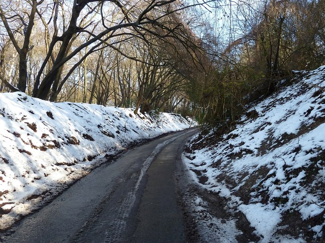
Image: © Rob Farrow Taken: 26 Jan 2013
This is the view in the opposite direction to Image] taken next to Image It is taken of almost the same place as Image] but in very different weather conditions.
Images are licensed for reuse under creativecommons.org/licenses/by-sa/2.0
Image Location


Leaflet Map data © OpenStreetMap
Latitude
51.756826
Longitude
-0.707332