Hemp Lane - view through the hedge
Introduction
The photograph on this page of Hemp Lane - view through the hedge by Rob Farrow as part of the Geograph project.
The Geograph project started in 2005 with the aim of publishing, organising and preserving representative images for every square kilometre of Great Britain, Ireland and the Isle of Man.

There are currently over 7.5m images from over 14,400 individuals and you can help contribute to the project by visiting https://www.geograph.org.uk
Hemp Lane - view through the hedge
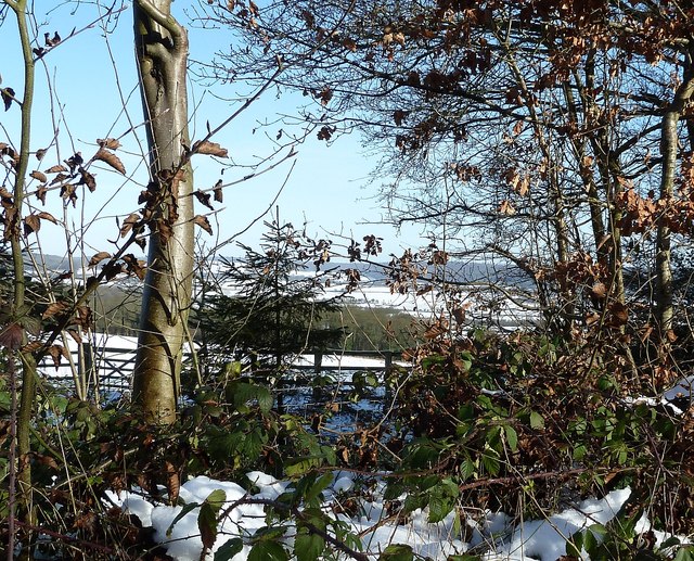
Image: © Rob Farrow Taken: 26 Jan 2013
Hemp Lane leads from New Ground up to Wigginton. This view is through the hedge and across snow covered fields taken from opposite Hill Green Lane. The snow didn't last long once this thaw had set in and was almost all gone within 24 hours of this photo.
Images are licensed for reuse under creativecommons.org/licenses/by-sa/2.0
Image Location


Leaflet Map data © OpenStreetMap
Latitude
51.78348
Longitude
-0.63133