Lane and Footpath Junction in Kelsall
Introduction
The photograph on this page of Lane and Footpath Junction in Kelsall by John S Turner as part of the Geograph project.
The Geograph project started in 2005 with the aim of publishing, organising and preserving representative images for every square kilometre of Great Britain, Ireland and the Isle of Man.

There are currently over 7.5m images from over 14,400 individuals and you can help contribute to the project by visiting https://www.geograph.org.uk
Lane and Footpath Junction in Kelsall
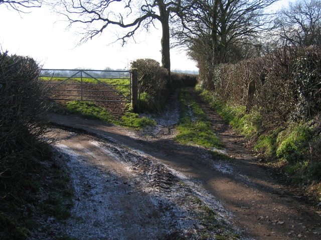
Image: © John S Turner Taken: 6 Feb 2007
The lane that turns left here is an access track to private property, whilst the track straight ahead provides access to outlying farmland and is also a public footpath.
Images are licensed for reuse under creativecommons.org/licenses/by-sa/2.0
Image Location
Latitude
53.205245
Longitude
-2.724286