Trig point at High Moorsley
Introduction
The photograph on this page of Trig point at High Moorsley by Trevor Littlewood as part of the Geograph project.
The Geograph project started in 2005 with the aim of publishing, organising and preserving representative images for every square kilometre of Great Britain, Ireland and the Isle of Man.

There are currently over 7.5m images from over 14,400 individuals and you can help contribute to the project by visiting https://www.geograph.org.uk
Trig point at High Moorsley
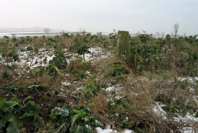
Image: © Trevor Littlewood Taken: 30 Nov 2005
The trig point at High Moorsley is at the local high point of 163m. At the time the image was recorded it sat in a field of sprouts.
Images are licensed for reuse under creativecommons.org/licenses/by-sa/2.0
Image Location
Latitude
54.802794
Longitude
-1.476351