Formartine and Buchan Way at Logierieve
Introduction
The photograph on this page of Formartine and Buchan Way at Logierieve by John Allan as part of the Geograph project.
The Geograph project started in 2005 with the aim of publishing, organising and preserving representative images for every square kilometre of Great Britain, Ireland and the Isle of Man.

There are currently over 7.5m images from over 14,400 individuals and you can help contribute to the project by visiting https://www.geograph.org.uk
Formartine and Buchan Way at Logierieve
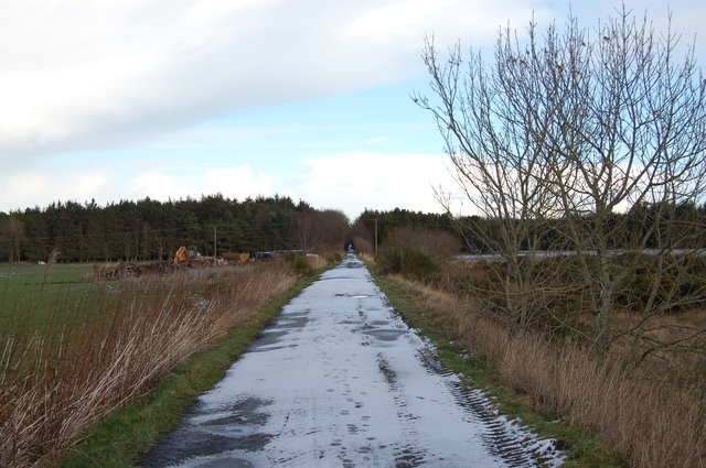
Image: © John Allan Taken: 6 Feb 2007
The Formartine and Buchan Way is a fifty-four mile offroad route for walking and cycling that links Dyce with Ellon, Fraserburgh and Peterhead using the level trackbed of a former railway.
Images are licensed for reuse under creativecommons.org/licenses/by-sa/2.0
Image Location
Latitude
57.330495
Longitude
-2.134845