Clustered houses
Introduction
The photograph on this page of Clustered houses by John Allan as part of the Geograph project.
The Geograph project started in 2005 with the aim of publishing, organising and preserving representative images for every square kilometre of Great Britain, Ireland and the Isle of Man.

There are currently over 7.5m images from over 14,400 individuals and you can help contribute to the project by visiting https://www.geograph.org.uk
Clustered houses
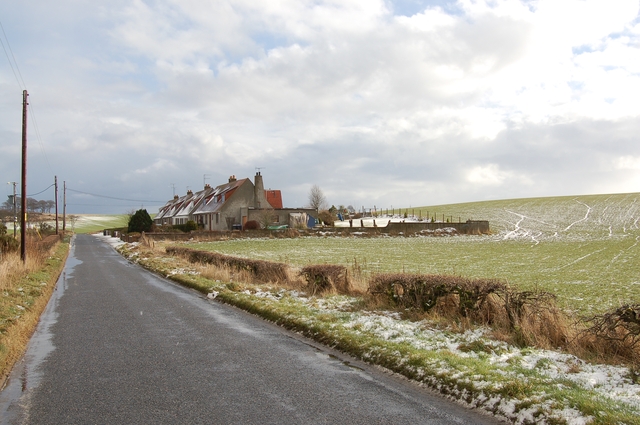
Image: © John Allan Taken: 6 Feb 2007
An unusual group of houses, clustered in suburban style, but surrounded by open farmland.
Images are licensed for reuse under creativecommons.org/licenses/by-sa/2.0
Image Location


Leaflet Map data © OpenStreetMap
Latitude
57.321095
Longitude
-2.180805