Beechgrove Terrace, Blackhouse
Introduction
The photograph on this page of Beechgrove Terrace, Blackhouse by Trevor Littlewood as part of the Geograph project.
The Geograph project started in 2005 with the aim of publishing, organising and preserving representative images for every square kilometre of Great Britain, Ireland and the Isle of Man.

There are currently over 7.5m images from over 14,400 individuals and you can help contribute to the project by visiting https://www.geograph.org.uk
Beechgrove Terrace, Blackhouse
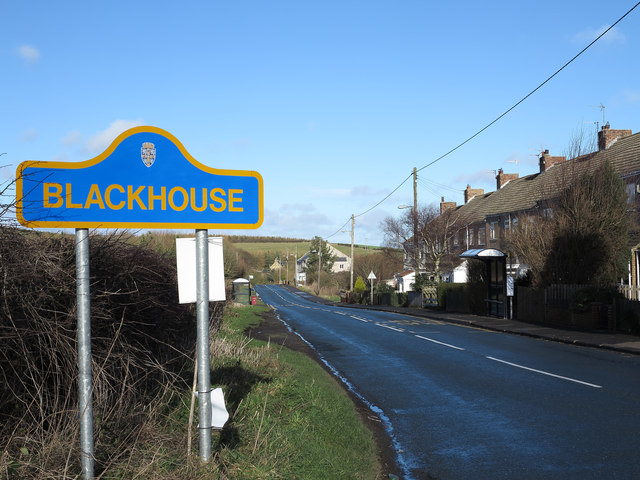
Image: © Trevor Littlewood Taken: 30 Jan 2013
Blackhouse appears to consist of very little more than Beechgrove Terrace. The blue and yellow road sign is characteristic of a style of signage introduced by County Durham some years ago - compare the image http://www.geograph.org.uk/photo/245749 of a few years earlier.
Images are licensed for reuse under creativecommons.org/licenses/by-sa/2.0
Image Location
Latitude
54.84549
Longitude
-1.655039