Lower Bouverie Street
Introduction
The photograph on this page of Lower Bouverie Street by Thomas Nugent as part of the Geograph project.
The Geograph project started in 2005 with the aim of publishing, organising and preserving representative images for every square kilometre of Great Britain, Ireland and the Isle of Man.

There are currently over 7.5m images from over 14,400 individuals and you can help contribute to the project by visiting https://www.geograph.org.uk
Lower Bouverie Street
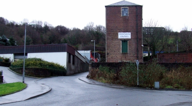
Image: © Thomas Nugent Taken: 27 Jan 2013
The red brick building is a survivor from the former Gourock Ropeworks mill complex. The remains of another similar building can be seen to its right.
Images are licensed for reuse under creativecommons.org/licenses/by-sa/2.0
Image Location
Latitude
55.932197
Longitude
-4.680127