Landslip below East Cliff House
Introduction
The photograph on this page of Landslip below East Cliff House by John Baker as part of the Geograph project.
The Geograph project started in 2005 with the aim of publishing, organising and preserving representative images for every square kilometre of Great Britain, Ireland and the Isle of Man.

There are currently over 7.5m images from over 14,400 individuals and you can help contribute to the project by visiting https://www.geograph.org.uk
Landslip below East Cliff House
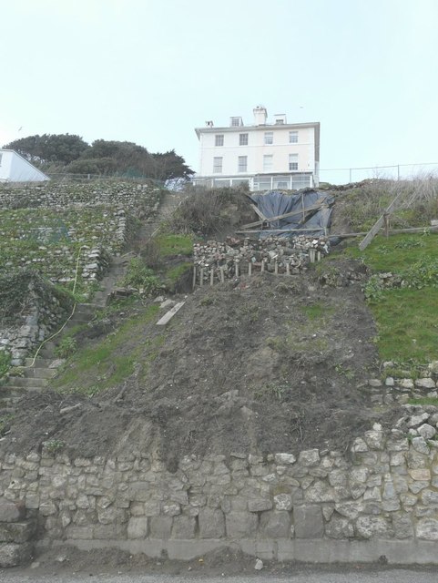
Image: © John Baker Taken: 27 Jan 2013
Seen from The Riviera. Fortunately the house is not right on the edge of the landslip as it is separated from it by Vicarage Road (a narrow unmade thoroughfare). The ground around here is noted for its instability but perhaps it is not surprising that this slippage has occurred due to all the rain that has fallen in recent weeks.
Images are licensed for reuse under creativecommons.org/licenses/by-sa/2.0
Image Location
Latitude
51.074193
Longitude
1.152982