Track junction, Yarner Wood
Introduction
The photograph on this page of Track junction, Yarner Wood by Derek Harper as part of the Geograph project.
The Geograph project started in 2005 with the aim of publishing, organising and preserving representative images for every square kilometre of Great Britain, Ireland and the Isle of Man.

There are currently over 7.5m images from over 14,400 individuals and you can help contribute to the project by visiting https://www.geograph.org.uk
Track junction, Yarner Wood
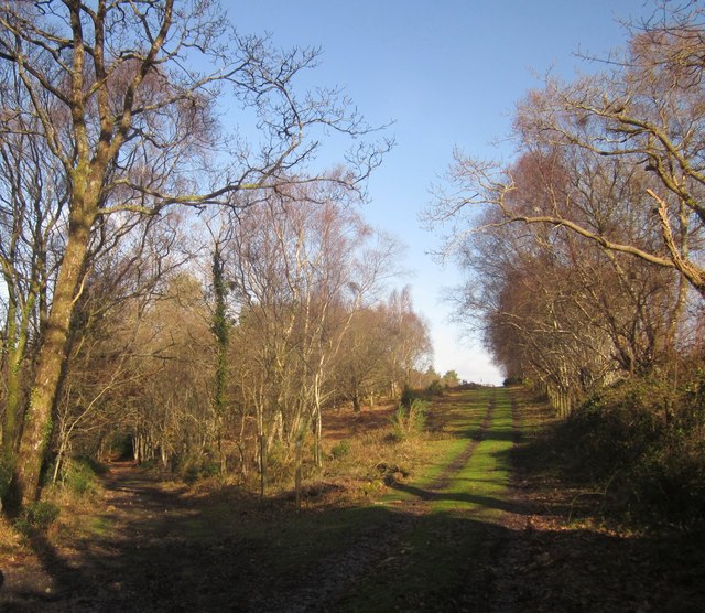
Image: © Derek Harper Taken: 27 Jan 2013
The Templer Way follows the Haytor Granite Tramway round to the left here, but a track continues along the edge of the nature reserve.
Images are licensed for reuse under creativecommons.org/licenses/by-sa/2.0
Image Location
Latitude
50.591204
Longitude
-3.718122