Vulcan Village, School Cottages
Introduction
The photograph on this page of Vulcan Village, School Cottages by David Dixon as part of the Geograph project.
The Geograph project started in 2005 with the aim of publishing, organising and preserving representative images for every square kilometre of Great Britain, Ireland and the Isle of Man.

There are currently over 7.5m images from over 14,400 individuals and you can help contribute to the project by visiting https://www.geograph.org.uk
Vulcan Village, School Cottages
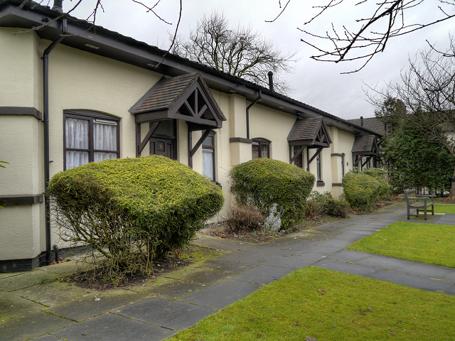
Image: © David Dixon Taken: 28 Jan 2013
During the 1970s and 1980s, the Village became rundown and almost derelict until it was acquired by Maritime Housing Association, who refurbished and adapted the properties to modern standards. During these improvements the old foundry school was converted into three bungalows for the elderly and disabled. After the Vulcan Inn, it is the second largest building in the Conservation Area.
Images are licensed for reuse under creativecommons.org/licenses/by-sa/2.0
Image Location
Latitude
53.439606
Longitude
-2.625146