Roundabout at the end of Central Parade
Introduction
The photograph on this page of Roundabout at the end of Central Parade by Stephen Craven as part of the Geograph project.
The Geograph project started in 2005 with the aim of publishing, organising and preserving representative images for every square kilometre of Great Britain, Ireland and the Isle of Man.

There are currently over 7.5m images from over 14,400 individuals and you can help contribute to the project by visiting https://www.geograph.org.uk
Roundabout at the end of Central Parade
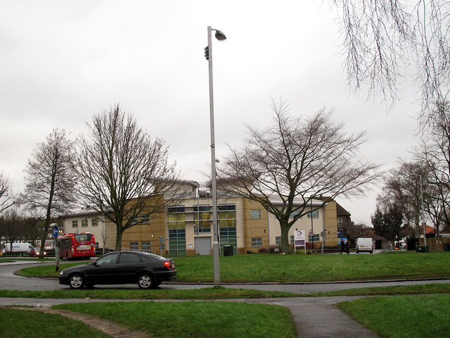
Image: © Stephen Craven Taken: 29 Jan 2013
Central Parade is a long axial road on the planned New Addington estate. This roundabout is at its eastern end, with St Edward's church Image facing it. The building at the far side of the roundabout in this view is the CALAT centre Image The bus in the photo is on route T32, a shuttle service between Addington Village and New Addington.
Images are licensed for reuse under creativecommons.org/licenses/by-sa/2.0
Image Location
Latitude
51.339778
Longitude
-0.013298