Pullabrook Farm
Introduction
The photograph on this page of Pullabrook Farm by Derek Harper as part of the Geograph project.
The Geograph project started in 2005 with the aim of publishing, organising and preserving representative images for every square kilometre of Great Britain, Ireland and the Isle of Man.

There are currently over 7.5m images from over 14,400 individuals and you can help contribute to the project by visiting https://www.geograph.org.uk
Pullabrook Farm
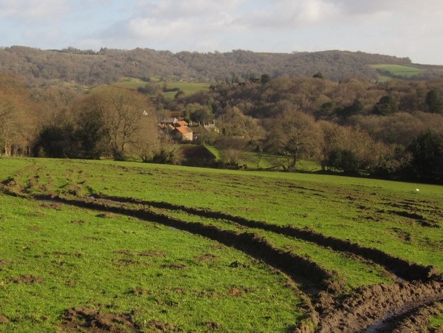
Image: © Derek Harper Taken: 27 Jan 2013
The farmhouse, with prominent chimneys at the right of the group of sunlit buildings, is listed http://www.britishlistedbuildings.co.uk/en-84470-pullabrook-farmhouse-including-the-garden . Note the barn in shadow just in front of the farm, between trees on the field boundary. This is a detail of Image, taken a fortnight earlier; little has altered but the presence of the sheep.
Images are licensed for reuse under creativecommons.org/licenses/by-sa/2.0
Image Location
Latitude
50.60268
Longitude
-3.708365