Howatshaws Road, Bellsmyre
Introduction
The photograph on this page of Howatshaws Road, Bellsmyre by Lairich Rig as part of the Geograph project.
The Geograph project started in 2005 with the aim of publishing, organising and preserving representative images for every square kilometre of Great Britain, Ireland and the Isle of Man.

There are currently over 7.5m images from over 14,400 individuals and you can help contribute to the project by visiting https://www.geograph.org.uk
Howatshaws Road, Bellsmyre
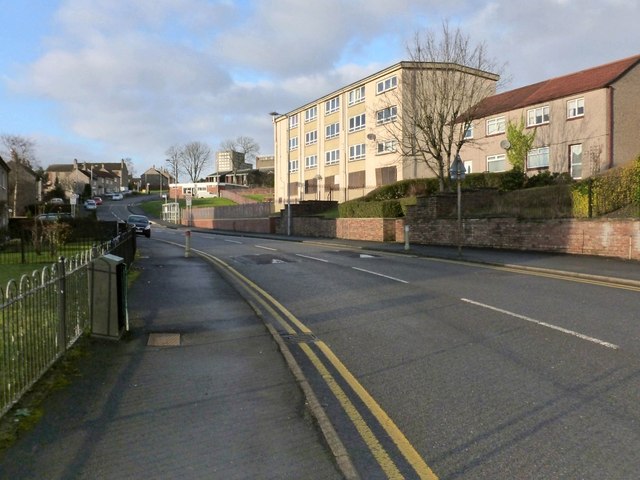
Image: © Lairich Rig Taken: 11 Jan 2013
The top of one of the High Flats at Bellsmyre can be seen in the background, left of centre; for those, see http://www.geograph.org.uk/snippet/8193
Images are licensed for reuse under creativecommons.org/licenses/by-sa/2.0
Image Location
Latitude
55.955682
Longitude
-4.547652