Derelict cottage on the Bryansford Road (B180)
Introduction
The photograph on this page of Derelict cottage on the Bryansford Road (B180) by Eric Jones as part of the Geograph project.
The Geograph project started in 2005 with the aim of publishing, organising and preserving representative images for every square kilometre of Great Britain, Ireland and the Isle of Man.

There are currently over 7.5m images from over 14,400 individuals and you can help contribute to the project by visiting https://www.geograph.org.uk
Derelict cottage on the Bryansford Road (B180)
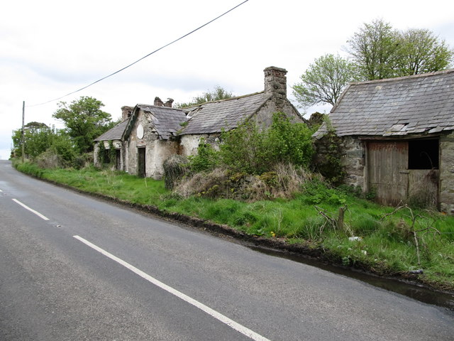
Image: © Eric Jones Taken: 16 May 2012
This area is dotted with derelict homesteads. This is a symptom of rural depopulation in area long characterised by a proliferation of small and uneconomic marginal farms.
Images are licensed for reuse under creativecommons.org/licenses/by-sa/2.0
Image Location
Latitude
54.21032
Longitude
-6.05372