Farmland beside the reservoir
Introduction
The photograph on this page of Farmland beside the reservoir by Penny Mayes as part of the Geograph project.
The Geograph project started in 2005 with the aim of publishing, organising and preserving representative images for every square kilometre of Great Britain, Ireland and the Isle of Man.

There are currently over 7.5m images from over 14,400 individuals and you can help contribute to the project by visiting https://www.geograph.org.uk
Farmland beside the reservoir
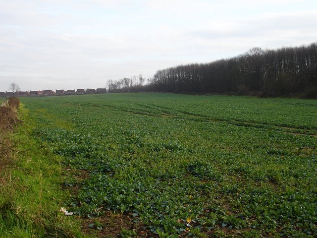
Image: © Penny Mayes Taken: 5 Feb 2007
The reservoir seen in http://www.geograph.org.uk/photo/331297 is out of shot to the left. The strip of woodland on the right, combines with the lie of the land to obscure Maidstone Hospital from view. The houses in the background are on estates in Allington.
Images are licensed for reuse under creativecommons.org/licenses/by-sa/2.0
Image Location
Latitude
51.277701
Longitude
0.486888