The heights of Tunstall Road
Introduction
The photograph on this page of The heights of Tunstall Road by Peter Turner as part of the Geograph project.
The Geograph project started in 2005 with the aim of publishing, organising and preserving representative images for every square kilometre of Great Britain, Ireland and the Isle of Man.

There are currently over 7.5m images from over 14,400 individuals and you can help contribute to the project by visiting https://www.geograph.org.uk
The heights of Tunstall Road
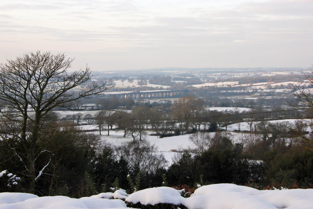
Image: © Peter Turner Taken: 24 Jan 2013
Above the tree tops and adjacent Peover Lane there is an extensive late winter afternoon view across the Dane Valley railway viaduct into the centre of the Cheashire Plain.
Images are licensed for reuse under creativecommons.org/licenses/by-sa/2.0
Image Location
Latitude
53.172838
Longitude
-2.148365