Dead end off Hermitage Lane
Introduction
The photograph on this page of Dead end off Hermitage Lane by Penny Mayes as part of the Geograph project.
The Geograph project started in 2005 with the aim of publishing, organising and preserving representative images for every square kilometre of Great Britain, Ireland and the Isle of Man.

There are currently over 7.5m images from over 14,400 individuals and you can help contribute to the project by visiting https://www.geograph.org.uk
Dead end off Hermitage Lane
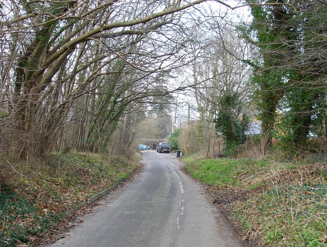
Image: © Penny Mayes Taken: 5 Feb 2007
At some point (since the drawing of the OS 1940s map) Hermitage Lane was straightened, probably over a new railway bridge, leaving this little cul-de-sac south of the railway with just two houses at the end.
Images are licensed for reuse under creativecommons.org/licenses/by-sa/2.0
Image Location
Latitude
51.283726
Longitude
0.478465