B4035 west of Tadmarton
Introduction
The photograph on this page of B4035 west of Tadmarton by Stephen McKay as part of the Geograph project.
The Geograph project started in 2005 with the aim of publishing, organising and preserving representative images for every square kilometre of Great Britain, Ireland and the Isle of Man.

There are currently over 7.5m images from over 14,400 individuals and you can help contribute to the project by visiting https://www.geograph.org.uk
B4035 west of Tadmarton
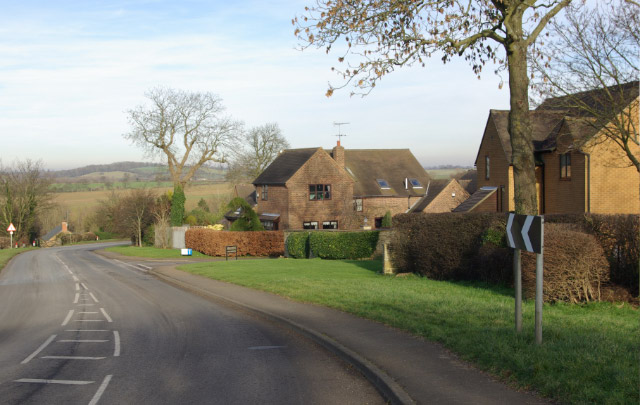
Image: © Stephen McKay Taken: 4 Feb 2007
The B4035 approaches Tadmarton from the west via a double bend past a small development of modern houses.
Images are licensed for reuse under creativecommons.org/licenses/by-sa/2.0
Image Location


Leaflet Map data © OpenStreetMap
Latitude
52.037689
Longitude
-1.433146