Carn Hill seen across the valley of the Muddock River
Introduction
The photograph on this page of Carn Hill seen across the valley of the Muddock River by Eric Jones as part of the Geograph project.
The Geograph project started in 2005 with the aim of publishing, organising and preserving representative images for every square kilometre of Great Britain, Ireland and the Isle of Man.

There are currently over 7.5m images from over 14,400 individuals and you can help contribute to the project by visiting https://www.geograph.org.uk
Carn Hill seen across the valley of the Muddock River
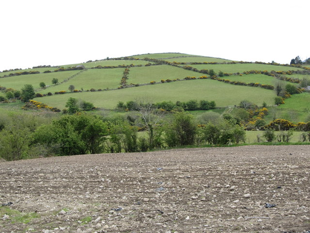
Image: © Eric Jones Taken: 16 May 2012
This view was taken from Mill Road. This is an area mostly of pastoral farming. The ploughed field in the foreground gives an indication of the stoney nature of the soils.
Images are licensed for reuse under creativecommons.org/licenses/by-sa/2.0
Image Location
Latitude
54.22515
Longitude
-6.02634