View east from Monsall Metrolink station
Introduction
The photograph on this page of View east from Monsall Metrolink station by Peter Whatley as part of the Geograph project.
The Geograph project started in 2005 with the aim of publishing, organising and preserving representative images for every square kilometre of Great Britain, Ireland and the Isle of Man.

There are currently over 7.5m images from over 14,400 individuals and you can help contribute to the project by visiting https://www.geograph.org.uk
View east from Monsall Metrolink station
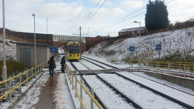
Image: © Peter Whatley Taken: 26 Jan 2013
The tram line uses what was until the 1970s the primary railway route between Manchester Victoria and Rochdale. Jocelyn Street bridge's ironwork shows that the line was originally quadruple track. Additional supporting brickwork was added as part of the project to downgrade the Manchester-Oldham-Rochdale route from trains to trams.
Images are licensed for reuse under creativecommons.org/licenses/by-sa/2.0
Image Location
Latitude
53.501012
Longitude
-2.209209