Oriel Road
Introduction
The photograph on this page of Oriel Road by Richard Webb as part of the Geograph project.
The Geograph project started in 2005 with the aim of publishing, organising and preserving representative images for every square kilometre of Great Britain, Ireland and the Isle of Man.

There are currently over 7.5m images from over 14,400 individuals and you can help contribute to the project by visiting https://www.geograph.org.uk
Oriel Road
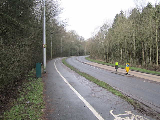
Image: © Richard Webb Taken: 27 Jan 2013
The A910 is a direct route into Kirkcaldy from the A92 Fife spine road. Here it runs through what was once the policies of Raith House.
Images are licensed for reuse under creativecommons.org/licenses/by-sa/2.0
Image Location
Latitude
56.119797
Longitude
-3.196601