Bow Road, Harbertonford
Introduction
The photograph on this page of Bow Road, Harbertonford by Ruth Sharville as part of the Geograph project.
The Geograph project started in 2005 with the aim of publishing, organising and preserving representative images for every square kilometre of Great Britain, Ireland and the Isle of Man.

There are currently over 7.5m images from over 14,400 individuals and you can help contribute to the project by visiting https://www.geograph.org.uk
Bow Road, Harbertonford
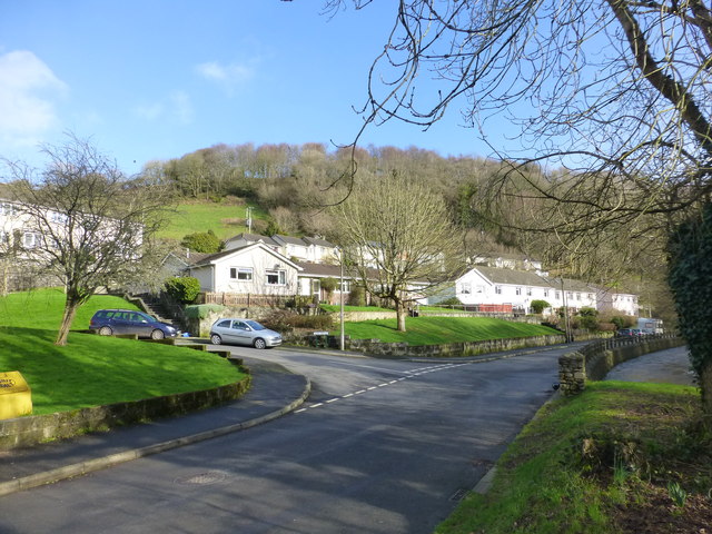
Image: © Ruth Sharville Taken: 27 Jan 2013
The Harbourne River runs close to the road here - and in this shot is swollen from the snow and rain of January 2013, which followed the extremely wet year of 2012.
Images are licensed for reuse under creativecommons.org/licenses/by-sa/2.0
Image Location
Latitude
50.393788
Longitude
-3.70605