Maesglas Close houses, Newport
Introduction
The photograph on this page of Maesglas Close houses, Newport by Jaggery as part of the Geograph project.
The Geograph project started in 2005 with the aim of publishing, organising and preserving representative images for every square kilometre of Great Britain, Ireland and the Isle of Man.

There are currently over 7.5m images from over 14,400 individuals and you can help contribute to the project by visiting https://www.geograph.org.uk
Maesglas Close houses, Newport
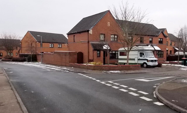
Image: © Jaggery Taken: 25 Jan 2013
These houses at the southern edge of Maesglas were built c2000 whereas most of the houses in the Maesglas estate date from the 1930s.
Images are licensed for reuse under creativecommons.org/licenses/by-sa/2.0
Image Location
Latitude
51.565799
Longitude
-3.012735