View up London Road from the Sydenham Hill junction
Introduction
The photograph on this page of View up London Road from the Sydenham Hill junction by Robert Lamb as part of the Geograph project.
The Geograph project started in 2005 with the aim of publishing, organising and preserving representative images for every square kilometre of Great Britain, Ireland and the Isle of Man.

There are currently over 7.5m images from over 14,400 individuals and you can help contribute to the project by visiting https://www.geograph.org.uk
View up London Road from the Sydenham Hill junction
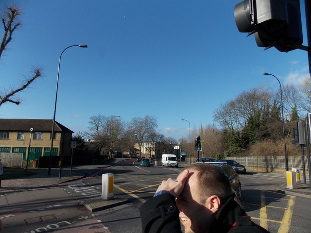
Image: © Robert Lamb Taken: 27 Jan 2013
Looking north-northwest. The spire of St Peter's Ecumenical Centre can be seen above the trees in the centre of the image.
Images are licensed for reuse under creativecommons.org/licenses/by-sa/2.0
Image Location
Latitude
51.441183
Longitude
-0.065019