Paddlesworth village centre
Introduction
The photograph on this page of Paddlesworth village centre by John Baker as part of the Geograph project.
The Geograph project started in 2005 with the aim of publishing, organising and preserving representative images for every square kilometre of Great Britain, Ireland and the Isle of Man.

There are currently over 7.5m images from over 14,400 individuals and you can help contribute to the project by visiting https://www.geograph.org.uk
Paddlesworth village centre
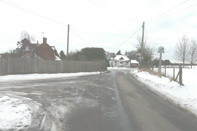
Image: © John Baker Taken: 24 Jan 2013
The road immediately left heads towards School Road, Acrise. In the distance, the road to the left heads towards Hawkinge and that to the right towards Arpinge. The Cat and Custard Pot public house sits between these roads; a new board has been erected in front of it to advertise its name. Nearer the photographer is the village sign for Paddlesworth. In places the road surface was extremely slippery, where there was a layer of ice.
Images are licensed for reuse under creativecommons.org/licenses/by-sa/2.0
Image Location
Latitude
51.115856
Longitude
1.135669