Flooded road
Introduction
The photograph on this page of Flooded road by Jonathan Wilkins as part of the Geograph project.
The Geograph project started in 2005 with the aim of publishing, organising and preserving representative images for every square kilometre of Great Britain, Ireland and the Isle of Man.

There are currently over 7.5m images from over 14,400 individuals and you can help contribute to the project by visiting https://www.geograph.org.uk
Flooded road
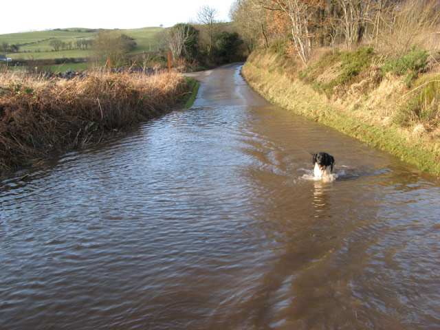
Image: © Jonathan Wilkins Taken: 27 Jan 2013
My Geograph assistant is seen fording the flooded road by Llyn y Fawnog. Although the stream was passing beneath the road without any problem, water running down the hill from the crossroads could not escape. It was very handy that there was such an efficient wash as both dogs had become very muddy in the forest.
Images are licensed for reuse under creativecommons.org/licenses/by-sa/2.0
Image Location
Latitude
53.251342
Longitude
-3.723754