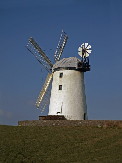
Ballycopeland Windmill, Millisle
Introduction
The photograph on this page of Ballycopeland Windmill, Millisle by Robert Ashby as part of the Geograph project.
The Geograph project started in 2005 with the aim of publishing, organising and preserving representative images for every square kilometre of Great Britain, Ireland and the Isle of Man.
There are currently over 7.5m images from over 14,400 individuals and you can help contribute to the project by visiting https://www.geograph.org.uk

Image: © Robert Ashby Taken: 10 Mar 2010
Ballycopeland Windmill is a late 18th century tower mill just outside the seaside village of Millisle which derived its name from the mill. It was in use until 1915 and fell into decay before being eventually bought by the Government in 1935. It was extensively renovated and reopened in full working order in 1978 and is currently run by the Northern Ireland Environment. It is open to the public during the summer months and visitors have the chance to grind a small sample of grain.

