Grand Union Canal (Paddington Arm): Reach in Southall
Introduction
The photograph on this page of Grand Union Canal (Paddington Arm): Reach in Southall by Nigel Cox as part of the Geograph project.
The Geograph project started in 2005 with the aim of publishing, organising and preserving representative images for every square kilometre of Great Britain, Ireland and the Isle of Man.

There are currently over 7.5m images from over 14,400 individuals and you can help contribute to the project by visiting https://www.geograph.org.uk
Grand Union Canal (Paddington Arm): Reach in Southall
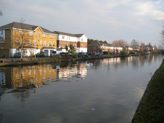
Image: © Nigel Cox Taken: 13 Jan 2013
The photographer writes reach in Southall, but the canal here forms the administrative boundary between the London Borough of Hillingdon to the left and the London Borough of Ealing to the right. The residential properties on the far side of the canal are on Tollgate Drive in Hayes.
Images are licensed for reuse under creativecommons.org/licenses/by-sa/2.0
Image Location
Latitude
51.515131
Longitude
-0.388042