Grand Loaning
Introduction
The photograph on this page of Grand Loaning by Richard Webb as part of the Geograph project.
The Geograph project started in 2005 with the aim of publishing, organising and preserving representative images for every square kilometre of Great Britain, Ireland and the Isle of Man.

There are currently over 7.5m images from over 14,400 individuals and you can help contribute to the project by visiting https://www.geograph.org.uk
Grand Loaning
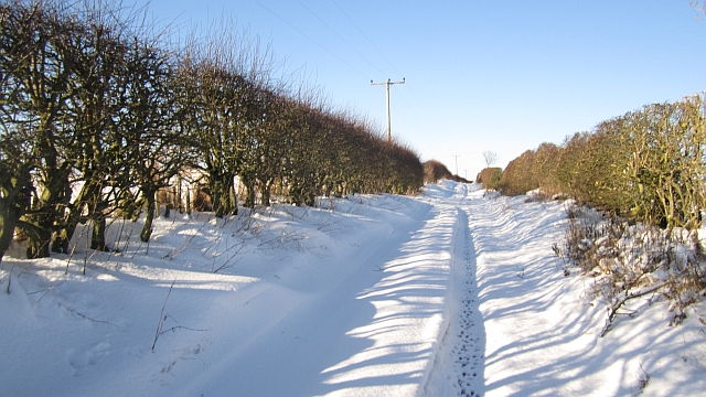
Image: © Richard Webb Taken: 26 Jan 2013
Very little farm traffic has passed since the snow came, the fields further along the road are full of pig arks and are serviced from Bogend. There are hare tracks in one of the ruts and the ground beneath the snow was wet.
Images are licensed for reuse under creativecommons.org/licenses/by-sa/2.0
Image Location
Latitude
55.787672
Longitude
-2.03984