The Pied Piper, Riddings
Introduction
The photograph on this page of The Pied Piper, Riddings by Jonathan Thacker as part of the Geograph project.
The Geograph project started in 2005 with the aim of publishing, organising and preserving representative images for every square kilometre of Great Britain, Ireland and the Isle of Man.

There are currently over 7.5m images from over 14,400 individuals and you can help contribute to the project by visiting https://www.geograph.org.uk
The Pied Piper, Riddings
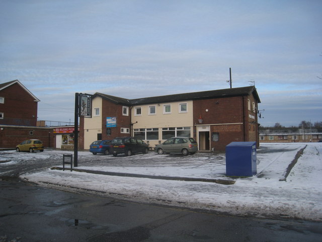
Image: © Jonathan Thacker Taken: 26 Jan 2013
1960s pub built to serve this then new suburb of Scunthorpe.
Images are licensed for reuse under creativecommons.org/licenses/by-sa/2.0
Image Location
Latitude
53.561429
Longitude
-0.664752