The outbuildings of Parsonage Farm
Introduction
The photograph on this page of The outbuildings of Parsonage Farm by John Baker as part of the Geograph project.
The Geograph project started in 2005 with the aim of publishing, organising and preserving representative images for every square kilometre of Great Britain, Ireland and the Isle of Man.

There are currently over 7.5m images from over 14,400 individuals and you can help contribute to the project by visiting https://www.geograph.org.uk
The outbuildings of Parsonage Farm
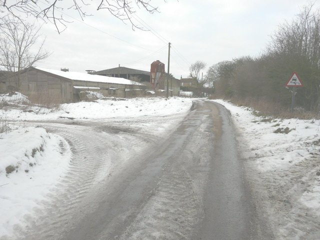
Image: © John Baker Taken: 24 Jan 2013
The road sign was rather appropriate given the icy conditions!
Images are licensed for reuse under creativecommons.org/licenses/by-sa/2.0
Image Location


Leaflet Map data © OpenStreetMap
Latitude
51.110551
Longitude
1.12888