To the Mill
Introduction
The photograph on this page of To the Mill by Debbie J as part of the Geograph project.
The Geograph project started in 2005 with the aim of publishing, organising and preserving representative images for every square kilometre of Great Britain, Ireland and the Isle of Man.

There are currently over 7.5m images from over 14,400 individuals and you can help contribute to the project by visiting https://www.geograph.org.uk
To the Mill
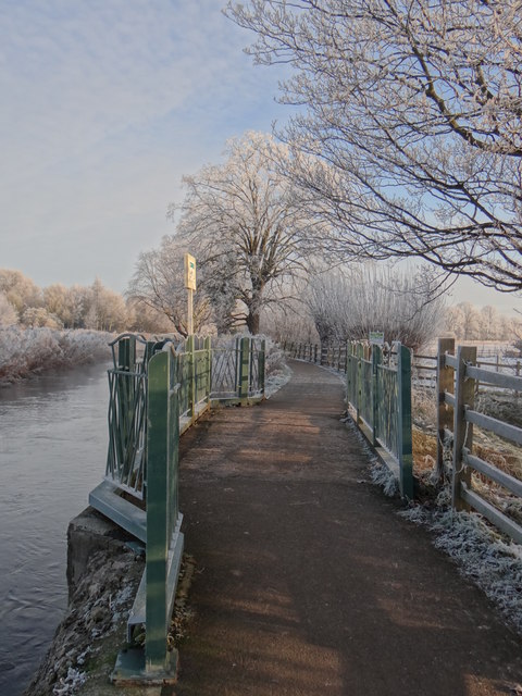
Image: © Debbie J Taken: 17 Jan 2013
Footpath heading from Sleaford towards Gogglesford Mill, over the weir at the point the new and the old river Sleas meet.
Images are licensed for reuse under creativecommons.org/licenses/by-sa/2.0
Image Location
Latitude
52.999603
Longitude
-0.40334