Horsdean Recreation Ground
Introduction
The photograph on this page of Horsdean Recreation Ground by Simon Carey as part of the Geograph project.
The Geograph project started in 2005 with the aim of publishing, organising and preserving representative images for every square kilometre of Great Britain, Ireland and the Isle of Man.

There are currently over 7.5m images from over 14,400 individuals and you can help contribute to the project by visiting https://www.geograph.org.uk
Horsdean Recreation Ground
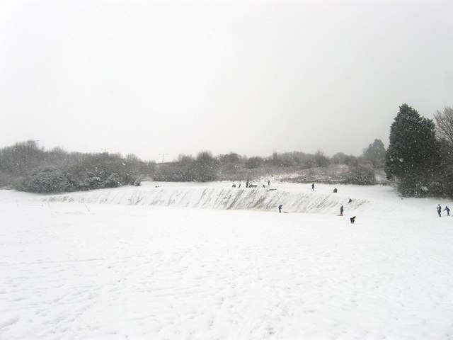
Image: © Simon Carey Taken: 20 Jan 2013
Built in the 1930s for the newly constructed estates to the east of Patcham. The steep sided slopes are being utilised by locals for sledging.
Images are licensed for reuse under creativecommons.org/licenses/by-sa/2.0
Image Location
Latitude
50.867945
Longitude
-0.14698