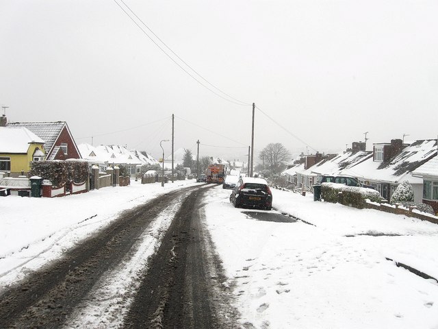
Ladies Mile Road, Patcham
Introduction
The photograph on this page of Ladies Mile Road, Patcham by Simon Carey as part of the Geograph project.
The Geograph project started in 2005 with the aim of publishing, organising and preserving representative images for every square kilometre of Great Britain, Ireland and the Isle of Man.
There are currently over 7.5m images from over 14,400 individuals and you can help contribute to the project by visiting https://www.geograph.org.uk

Image: © Simon Carey Taken: 20 Jan 2013
Originally an old drove road that linked Patcham village with Ditchling Road at Old Boat Corner. During the 19th century it picked up its current name when it became part of a circular horse riding route that also took in London Road, Ditchling Road and Surrenden Road. The road became residential during the 1930s when a number of the bungalows in view were built. A gritting lorry can be seen further down the road.

