Whimpton House
Introduction
The photograph on this page of Whimpton House by Trevor Rickard as part of the Geograph project.
The Geograph project started in 2005 with the aim of publishing, organising and preserving representative images for every square kilometre of Great Britain, Ireland and the Isle of Man.

There are currently over 7.5m images from over 14,400 individuals and you can help contribute to the project by visiting https://www.geograph.org.uk
Whimpton House
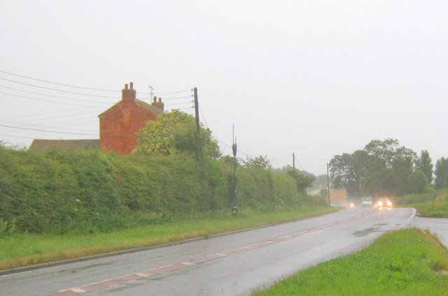
Image: © Trevor Rickard Taken: 21 Aug 2012
Tall converted farmhouse on the north side of the A57 Dunham Road. Wet conditions following a summer downpour.
Images are licensed for reuse under creativecommons.org/licenses/by-sa/2.0
Image Location
Latitude
53.257184
Longitude
-0.813209