Footpath to Chweffordd
Introduction
The photograph on this page of Footpath to Chweffordd by Jonathan Wilkins as part of the Geograph project.
The Geograph project started in 2005 with the aim of publishing, organising and preserving representative images for every square kilometre of Great Britain, Ireland and the Isle of Man.

There are currently over 7.5m images from over 14,400 individuals and you can help contribute to the project by visiting https://www.geograph.org.uk
Footpath to Chweffordd
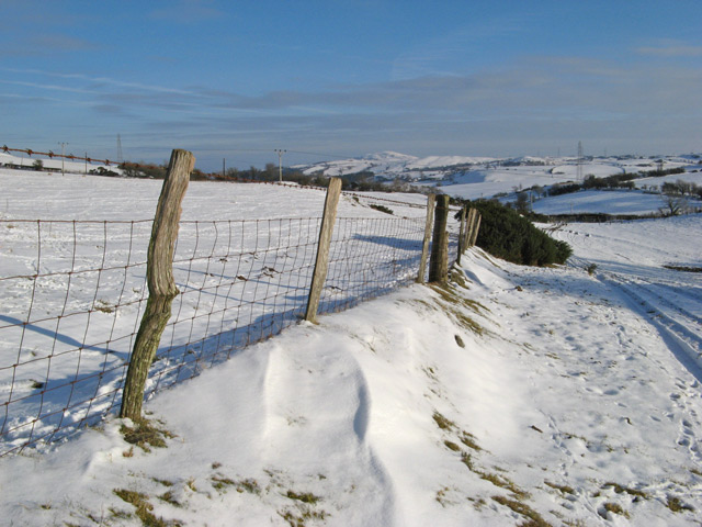
Image: © Jonathan Wilkins Taken: 24 Jan 2013
Looking down the footpath and farm track that runs over Cefn Du, the upland pasture covered with snow. I am tempted to think that this track is the last of the six roads (Chweffordd = Chwech Ffyrdd?) that meet at this upland junction. On the distant horizon can be seen Moelfre Uchaf, a very prominent landmark.
Images are licensed for reuse under creativecommons.org/licenses/by-sa/2.0
Image Location
Latitude
53.237847
Longitude
-3.742991