Broad Heath
Introduction
The photograph on this page of Broad Heath by Rude Health as part of the Geograph project.
The Geograph project started in 2005 with the aim of publishing, organising and preserving representative images for every square kilometre of Great Britain, Ireland and the Isle of Man.

There are currently over 7.5m images from over 14,400 individuals and you can help contribute to the project by visiting https://www.geograph.org.uk
Broad Heath
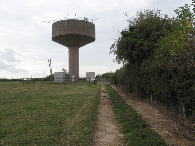
Image: © Rude Health Taken: 16 Sep 2011
Parked near gate then walked to and inside and around water tower than visited the trig over the road as not yet bored. Name: Broad Heath Hill number: 5370 Height: 246m / 807ft Area: 38B: West Gloucestershire, Hereford & Worcester Class: Hu Grid ref: SO664653 (est) Drop: 104m Col: 142m SO657594
Images are licensed for reuse under creativecommons.org/licenses/by-sa/2.0
Image Location
Latitude
52.285338
Longitude
-2.495447