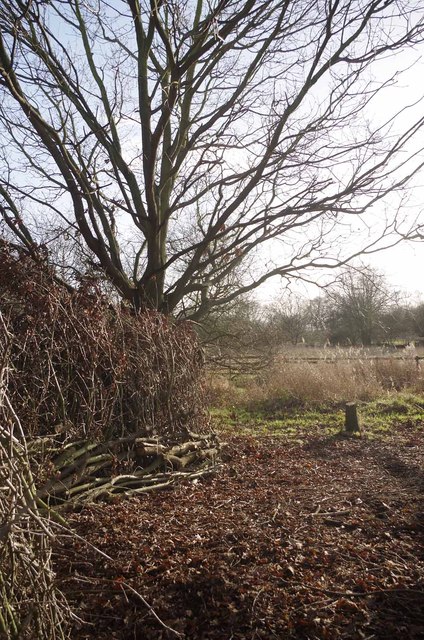
Dead Hedge
Introduction
The photograph on this page of Dead Hedge by Glyn Baker as part of the Geograph project.
The Geograph project started in 2005 with the aim of publishing, organising and preserving representative images for every square kilometre of Great Britain, Ireland and the Isle of Man.
There are currently over 7.5m images from over 14,400 individuals and you can help contribute to the project by visiting https://www.geograph.org.uk

Image: © Glyn Baker Taken: 30 Dec 2012
This boundary is a "dead hedge"created from the brushwood resulting from felling, pollarding & coppicing trees that threatened to turn the grassland into secondary woodland. This technique saves unnecessary burning and creates habitat for small mammals and invertebrates. The work was carried out by the Essex Wildlife Trust's Image during their regular Image Image Nature Reserve is owned by Havering Council but is maintained by the Trust http://www.essexwt.org.uk/

