
Warwick Road, Solihull
Introduction
The photograph on this page of Warwick Road, Solihull by David Dixon as part of the Geograph project.
The Geograph project started in 2005 with the aim of publishing, organising and preserving representative images for every square kilometre of Great Britain, Ireland and the Isle of Man.

There are currently over 7.5m images from over 14,400 individuals and you can help contribute to the project by visiting https://www.geograph.org.uk
Warwick Road, Solihull
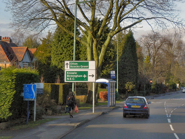
Image: © David Dixon Taken: 21 Dec 2012
The advance direction sign, just before the bus stop, has the white background with black borders and direction arrows associated with a non-primary route. The destinations are, however, on green patches with white lettering; this is because the road is joining a primary route (the A41, Seven Star Road). Note the use of the small pictogram (silhouette of an aircraft) to represent Birmingham Airport instead of displaying the full name.
Images are licensed for reuse under creativecommons.org/licenses/by-sa/2.0
Image Location

Latitude
52.421315
Longitude
-1.790416