Mapperley
Introduction
The photograph on this page of Mapperley by Rude Health as part of the Geograph project.
The Geograph project started in 2005 with the aim of publishing, organising and preserving representative images for every square kilometre of Great Britain, Ireland and the Isle of Man.

There are currently over 7.5m images from over 14,400 individuals and you can help contribute to the project by visiting https://www.geograph.org.uk
Mapperley
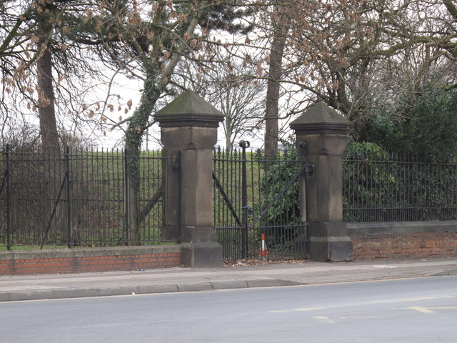
Image: © Rude Health Taken: 30 Jan 2011
Visited all possible gates to this well guarded reservoir compound. Formerly joint UA Top for Nottingham but hill 5527 Nottingham M1 is now believed to be higher. Name: Mapperley Hill number: 5528 Height: 130m / 427ft Area: 37: The River Tees to The Wash Class: Un Grid ref: SK 58790 43105 Summit feature: by reservoir gate Drop: 18m Col: 112m SK602449
Images are licensed for reuse under creativecommons.org/licenses/by-sa/2.0
Image Location
Latitude
52.98158
Longitude
-1.126116