
Mounting block (?), Blunsdon St Andrew
Introduction
The photograph on this page of Mounting block (?), Blunsdon St Andrew by Vieve Forward as part of the Geograph project.
The Geograph project started in 2005 with the aim of publishing, organising and preserving representative images for every square kilometre of Great Britain, Ireland and the Isle of Man.

There are currently over 7.5m images from over 14,400 individuals and you can help contribute to the project by visiting https://www.geograph.org.uk
Mounting block (?), Blunsdon St Andrew
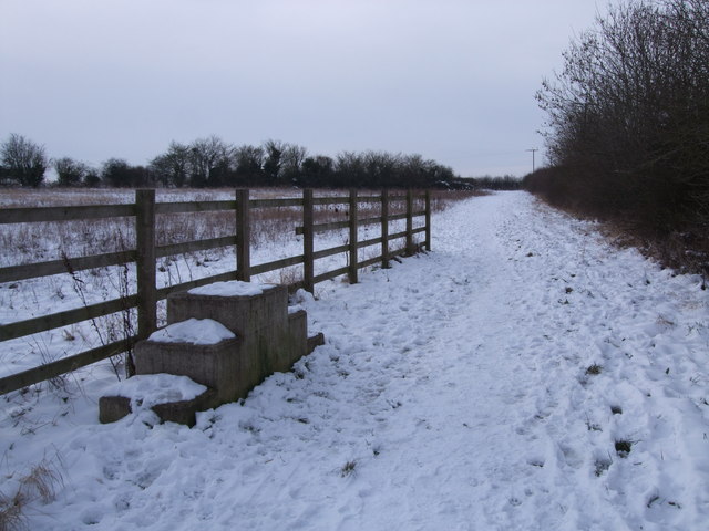
Image: © Vieve Forward Taken: 22 Jan 2013
This mounting block (if that's what it is) was presumably placed here when the Widhill Walk bridge (behind the photographer) taking the bridleway across the A419 dual carriageway was built. The bridge crosses very high above a hectic road, and on the other side are steps leading up to it from Widhill Lane, so it is probably better to lead a horse rather than ride it across.
Images are licensed for reuse under creativecommons.org/licenses/by-sa/2.0
Image Location

Latitude
51.611271
Longitude
-1.79965